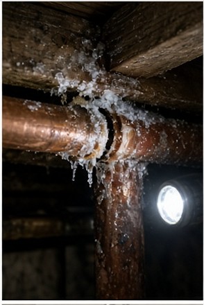
Hebron sits on the north end of Newfound Lake, and three houses in five here belong to somebody who isn’t here in February. Six hundred and thirty-two year-round residents spread over nineteen square miles, not one foot of town water or town sewer anywhere in it, and a lot of buildings that went up as camps and got insulated later. That’s the plumbing we do — the Lake District along North Shore and West Shore, East Hebron, and the hill roads behind both.
Hebron runs nineteen and a quarter square miles, better than two of them water, bounded by Groton on top, Plymouth east, Alexandria west, Bristol and Bridgewater along the bottom. Two villages and no more: Hebron itself, around the common where North Shore Road meets School Street, and East Hebron where Route 3A, North Shore Road, and Pike Hill Road all come together. The common sits at 597 feet. The back of town climbs to 2,240 near the top of Tenney Mountain, and the town’s own Master Plan puts roughly fifty-five percent of Hebron’s land under a slope limitation — fifteen percent grade or worse. Hobart Hill, Tenney Hill, Bear Mountain. Off the lake roads it gets steep in a hurry.
The figure that governs our trade is old and hasn’t reversed. The last time the Census broke Hebron out by season, in 2000, the town held 517 housing units and 311 of them — sixty percent — were seasonal. Forty years before that it was 116 out of 167, closer to seventy. The share has only come down because camps keep getting converted for year-round living, which is its own job with its own surprises. The 2020 count put 632 people here, about thirty-seven to the square mile.
Newfound Lake is behind most of it. Fourth-largest lake in the state, something over four thousand acres, and at 183 feet the deepest water in New Hampshire — spring-fed, cold, and clean enough that people argue about where it ranks. Hebron owns the north end, where the Cockermouth River drops down out of Groton and fans into a delta. Nine and a half miles of river, the longest thing feeding the lake, and the reason the north end is shallow and marshy while the middle of the lake is a hundred and eighty feet deep. Grey Rocks sits out on that delta. The Audubon center at Paradise Point is on the shore just west of it, forty-three acres and most of a mile of rocky frontage.
Nobody in town is on a municipal system. The Master Plan states it flatly — water and sewer are privately maintained throughout the community — so every house in Hebron makes its own water, and a fair number of those wells went into shallow ledge. Zoning is four districts: the Common Historic District at a one-acre minimum, the Lake District at two, the Rural District at two, with floodplain and wetlands overlays on top. The Lake District is wider than people assume. It runs from the water out to a line five hundred feet past the off-lake edge of Route 3A, North Shore Road, and West Shore Road — so a house with no view of the lake at all can still be sitting in it.
Nobody in Hebron is on town water, which means a no-water call here is always the well, and the pump and pressure tank live somewhere different in every house. Go find yours in July, not in February with a flashlight in your teeth.
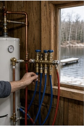
Seasonal shutdowns and spring startups, done methodically and documented in writing.
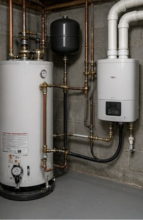
Tank and tankless, sized for your house and our cold inlet water — not just matched to the old one.
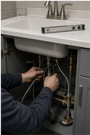
Faucets, toilets, shut-off valves, tub and shower work, and remodel rough-in.
Emergency or routine, year-round house or seasonal camp — tell us what’s going on and we’ll give you a straight answer on cost and timing.
Describe what’s happening and where the property is. We’ll come back with a straight answer on what it likely is, what it should cost, and when we can be there. If it’s an emergency, say so in the first line.
We reply to every request within 2 business hours.